Building Better Urban Mobility in Mexico: A Look at the TranSIT Mapping Initiative
Collaborative mapping and open data are enhancing urban transport planning in Oaxaca, Toluca, and beyond – the TranSIT initiative in Mexico
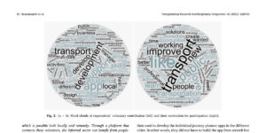
Collaborative mapping and open data are enhancing urban transport planning in Oaxaca, Toluca, and beyond – the TranSIT initiative in Mexico
GTFS data for Trujillo is now in MobilityDatabase, showcasing accuracy, sustainability, and impact for urban transport systems worldwide.
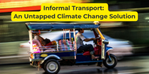
Explore how informal transport self-organizes with surprising efficiency. Join our webinar to uncover lessons for equitable, user-centric mobility solutions.

Berlin’s F24 ferry, a community-led transit solution, echoes informal transport in the global South: practical, cultural, and essential for local needs.
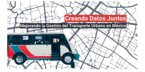
Register for a Spanish webinar on Nov 6 to learn about open data in Mexican urban transport. Insights from Oaxaca and Toluca plus expert panelists.
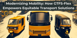
Discover how GTFS-Flex empowers accessible mobility solutions reflecting real-world conditions, especially serving underserved communities.
Join our Trufi webinar on July 16. Overcome social inequality in transport planning. Learn about disrupting top-down (a.k.a colonial) approaches.
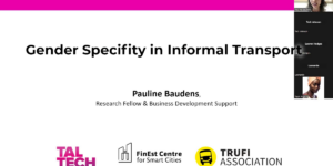
The connections between gender, security, and digitalization in informal transport. Pauline Baudens delves into challenges and solutions for safer and inclusive mobility.

ITDP and Duitama Mapping Stars reveal the connection between OpenStreetMap, high-quality transport data, and UN Sustainable Development Goals
The positive effects of digital volunteering: mapping transport routes in OpenStreetMap, coding open-source software – a.k.a. “digital civic engagement.”