This blog post is adapted from a blog post by Humanitarian OpenStreetMap Team (HOT). The original article, written in Spanish, can be found here: Mapeo participativo de transporte en Oaxaca y Toluca, México.
HOT is promoting collaborative mapping of public transport in Mexico, strengthening technical communities, and advocating for open data. Led by Trufi Association, HOT, and Codeando México, with funding from GIZ, the project involves students, governments, and civil society in Oaxaca, Salina Cruz, and Toluca to improve urban transport management and planning.
The project “Creating Data Together: Improving Urban Transport Management in Mexico,” funded by GIZ, is part of TranSIT, an initiative to enhance the quality and efficiency of public transport in Mexico.
TranSIT is based on three themes: development of decision-making tools, design and implementation of demonstration projects, and the exchange of knowledge and experiences in mobility-related topics.
This project, funded under TranSIT, is led by Trufi Association, the Humanitarian OpenStreetMap Team (HOT), and Codeando México. It aims to strengthen local technical communities in Mexico, encouraging their participation in building detailed and up-to-date maps of unstructured public transport. Through collaboration between local governments, academia, and citizens, high-quality open data will be generated to serve as a foundation for improving transport planning, management, and operations in various cities across the country.
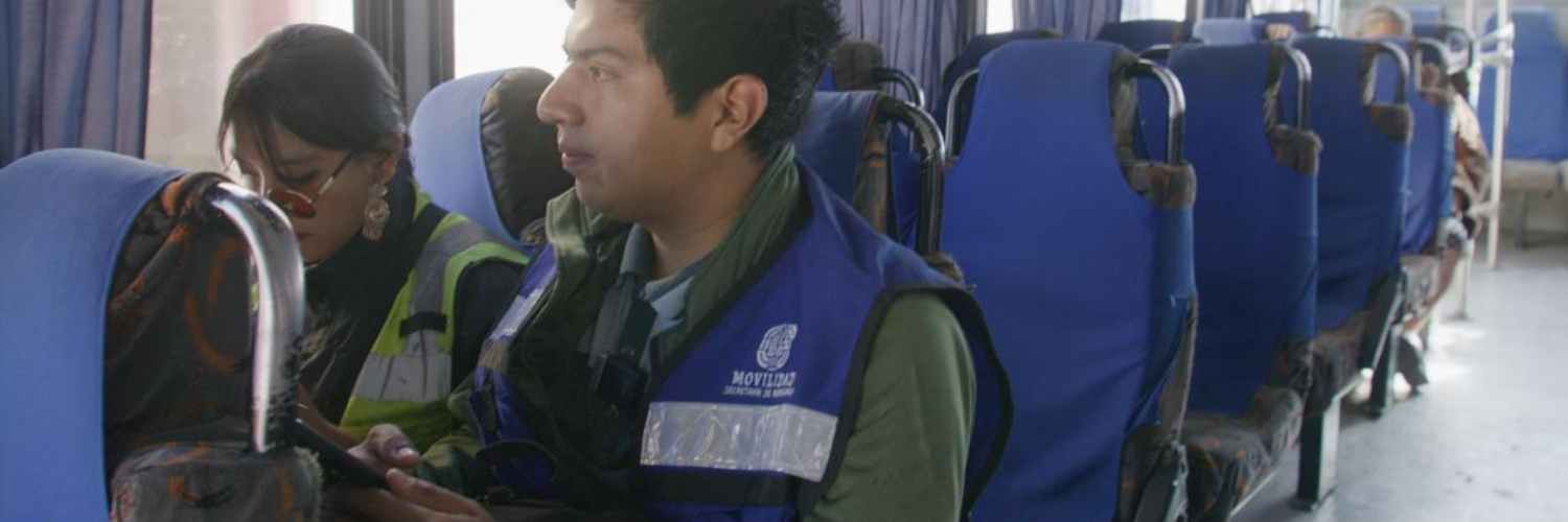
Through collaboration precise cartographic data of road space and public transport are being developed in the cities of Oaxaca de Juárez and Toluca. Participants include local and regional university students, civil society groups, and local public officials.
The project has the early collaboration of the Mobility Secretariats of both states, from project planning, area selection, portions of the transport system, and topics of interest, to validation stages. The Secretariats are also actively engaged in sharing results internally and integrating them into relevant administrative processes.
Objectives
- Build detailed public transport cartographic data: Generate accurate and up-to-date public transport route data in relevant formats for three medium-sized cities in Mexico: Toluca, Oaxaca de Juárez, and Salina Cruz.
- Strengthen local capacities: Train student communities, citizens, and public officials in collaborative mapping techniques and the use of open-source tools.
- Promote open data culture: Encourage the publication of public transport data in open and accessible formats for reuse.
- Strengthen a permanent mapping community: Establish a national public transport mapping network, connecting students, researchers, and citizens interested in the topic.
Methodology
City Selection
Two medium-sized cities (Oaxaca de Juárez and Toluca) were selected based on criteria such as the need to update route cartography for local programmatic contexts, expressed need by local authorities, presence of student and mapping communities, and technical capacity.
Diagnosis and Alliances
- A diagnosis of the foundational maps, existing public transport data, and road network information will be conducted in each city.
- Alliances will be established with local authorities, universities, and civil society organizations to ensure project sustainability.
Collaborative Mapping
- Participants will be trained in mapping techniques using open-source tools and databases such as OpenStreetMap (completed).
- Field and online mapping activities will be conducted to collect data on the road network, key facilities, transport routes, stops, and other relevant elements (ongoing).
- The collected information will be gradually converted into suitable formats for use in OpenStreetMap and GTFS (General Transit Feed Specification).
Data Publication
- Collected data will be rigorously processed and cleaned to ensure quality.
- GTFS (General Transit Feed Specification) files will be generated to integrate data into trip planning apps and mobile applications.
- Data will be published on national and international portals and databases, as well as on the open data portals of each city.
Building a Mapping Community
- Mapping groups will be created in universities and schools under mechanisms for validating social services and internships, also open to individuals interested in volunteering within the initiative.
- Workshops and continuous exercises will be organized from October to February 2025 to strengthen the mapping community.
- Students will join a permanent and broader digital community specialized in urban mobility mapping at the regional level.

Timeline
- August 2024: City selection and initial diagnosis.
- August-October 2024: Alliances and planning.
- October 2024 – February 2025: Training and collaborative mapping activities.
- January – April 2025: Data processing, publication, and presentation of results.
- May – June 2025: Local presentation of projects in each city; recognitions.
Expected Impact
- Improved information on public transport: Detailed and updated transport and city data will complete OpenStreetMap and create a GTFS format, both available to existing apps and local governments, resulting in better transport planning and management.
- Empowerment of citizens and students: Active participation of volunteers in data construction will strengthen local ownership and citizen control over public spaces.
- Development of local capacities: Training in open-source tools and mapping techniques will enhance the capabilities of local communities and officials.
- Promotion of open data culture: Publication of public transport data will contribute to transparency and foster a culture of collaboration.
- Creation of a mapping network: The mapping community created will address other urban challenges and contribute to the development of innovative research and solutions.